
Details
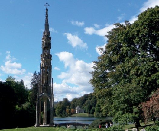
Circular walk which explores forests and fields of the Stourhead Estate, taking in the village of Stourton and the hamlet of Gasper.
Difficulty:
Moderate
Start / Finish
Spread Eagle Inn, Stourhead
Map of the route “Stourhead and Gasper – W39”: 8,166 m. It is a loop that starts and ends at 51.10488, -2.32058 (latitude, longitude).